7.8 km | 12.6 km-effort
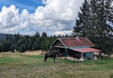
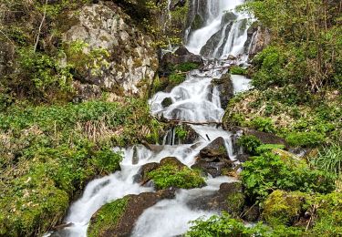
Parking avant Auberge du Hochfeld-Chaume des Vaux-GR531-Sentier rouge rouge des Mirtylles-les Rochers Princesse Emma et Edelweiss-Champ du Feu et retourchevalet bleu du Domaine des Vaux
patrickbeyrath
User
Length
10.8 km
Max alt
1101 m
Uphill gradient
330 m
Km-Effort
15.2 km
Min alt
926 m
Downhill gradient
336 m
Boucle
Yes
Creation date :
2018-10-13 05:51:46.894
Updated on :
2018-10-13 05:51:46.894
3h12
Difficulty : Medium
FREE GPS app for hiking
About
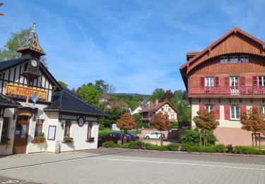
Trail Walking of 10.8 km to be discovered at Grand Est, Bas-Rhin, Le Hohwald. This trail is proposed by patrickbeyrath.
Positioning
Country:
France
Region :
Grand Est
Department/Province :
Bas-Rhin
Municipality :
Le Hohwald
Location:
Unknown
Start:(Dec)
Start:(UTM)
372931 ; 5361224 (32U) N.
Comments
Trails nearby
2024-09-03_17h19m14_suuntoapp-HorsebackRiding-2024-09-03T08-25-34Z-track
Horseback riding
Medium
Ottrott,
Grand Est,
Bas-Rhin,
France
18.8 km | 26 km-effort
3h 23min
Yes
suuntoapp-Hiking-2024-04-27T09-12-29Z
Walking
Medium
Le Hohwald,
Grand Est,
Bas-Rhin,
France
20 km | 31 km-effort
6h 58min
Yes
17.05.2020 - Saint Martin
Walking
Easy
(1)
Saint-Martin,
Grand Est,
Bas-Rhin,
France
12.2 km | 17.7 km-effort
3h 56min
Yes
Tour du Hohwald
Walking
Medium
(1)
Le Hohwald,
Grand Est,
Bas-Rhin,
France
8 km | 11.3 km-effort
2h 26min
Yes
Honel
Mountain bike
Medium
(1)
Maisonsgoutte,
Grand Est,
Bas-Rhin,
France
15 km | 22 km-effort
1h 26min
Yes
Acpl 2ème jour Belmont Bellefosse
Horseback riding
Medium
Belmont,
Grand Est,
Bas-Rhin,
France
17.3 km | 25 km-effort
3h 20min
Yes
Hohwald - Rothlach - Neuntelstein
Walking
Medium
Le Hohwald,
Grand Est,
Bas-Rhin,
France
15.8 km | 22 km-effort
4h 28min
Yes
Circuit VC Serva - Le Climont
Horseback riding
Medium
Belmont,
Grand Est,
Bas-Rhin,
France
23 km | 33 km-effort
4h 20min
No